A display is a view of data, not a view out the window
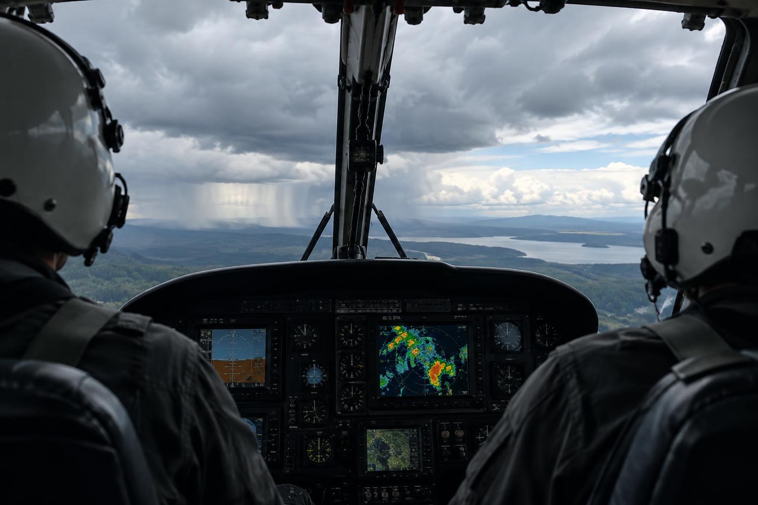
An aircraft may carry several ways to present weather information. Airborne radar sends out radio energy and displays returns from precipitation. Other systems may show detected lightning activity or weather products received from sources on the ground. These tools answer different questions: Where is radar-detectable precipitation? Has lightning been detected? What did a transmitted weather product report? A colorful screen can make their answers look equally immediate and complete, even when they are neither.
Crews therefore interpret a display alongside outside visibility, reports, forecasts and other available information. This matters in any kind of flying, but it is easy to see why it matters for emergency transport: the purpose of a flight does not make uncertain weather less uncertain. An onboard display supports decisions; it cannot remove the need to reassess conditions.
What airborne weather radar detects
Airborne weather radar is primarily a precipitation detector. It measures energy reflected back toward the antenna, especially from raindrops and other water particles. Stronger returns often draw attention to areas of heavier precipitation, which may be associated with convective storms. Radar can help a crew recognize a broad pattern and observe how it changes as the aircraft moves.
The picture depends on where the radar beam is pointed and what it reaches. A beam aimed too high can pass over precipitation at a lower altitude; one aimed too low may pick up the ground. At greater distances the beam covers a wider volume, so a small feature may be less distinct. Heavy precipitation can also weaken the signal reaching what lies behind it, leaving a misleadingly quiet-looking area beyond an intense return.
A radar return is not a direct measurement of turbulence, hail size or the safety of a path through weather. Dangerous conditions can extend beyond the most vivid colors, while a weak return does not guarantee smooth air. Interpreting the display requires attention to its settings, range and blind spots—not just the color of a patch on the screen.
Hazards that may leave little trace
Some significant hazards do not contain enough precipitation to make an obvious radar image. Clear-air turbulence is one example. Aircraft icing can occur in cloud that does not produce a prominent radar return; radar alone cannot establish whether icing is present or absent. Low cloud, fog and poor visibility may also be critical to a flight without appearing as a distinct airborne radar target.
Even a display showing no nearby storm cannot confirm that a route or landing area has acceptable visibility, cloud clearance or surface conditions. Those questions call for other information and direct observation where available. The useful question is not simply whether a display looks clear, but which hazards that particular display is capable of showing.
What lightning and datalink displays add
Lightning information can point to electrical activity associated with storms, including activity that deserves attention when radar returns look less impressive. But a lightning symbol is not an outline of a cloud or a precise map of every hazard nearby. Detection methods and display conventions vary, and an absence of plotted strikes does not prove that an area is free of convective weather.
Datalink displays can bring in products such as ground-based radar imagery, observations and forecasts, depending on the aircraft’s equipment and service coverage. They are valuable for context, particularly when looking at a larger area. Yet a received image represents information collected, processed and transmitted over time. It may already be older than the conditions outside. Coverage gaps, update intervals and presentation choices can also affect what appears. Datalink imagery is best understood as a planning aid, not a real-time window for judging a narrow gap between storms.
Building a more reliable weather picture
The strongest interpretation comes from comparing sources rather than asking one screen to settle every question. A crew might note whether an airborne radar pattern agrees with reported conditions, whether lightning information changes its understanding of a cloud area, and how old a datalink product is. When sources disagree, the difference itself is useful: it is a reason to seek clarification or allow more margin, not to assume the most convenient picture is correct.
Good coordination also makes uncertainty visible. Crew members can state what a display actually shows, what it cannot show and which information needs updating. For readers learning about rescue aviation equipment, that is the central lesson: weather displays extend awareness, but their value depends on knowing the limits of the data behind the image.