Distance is only part of the journey
A rural location can be close to a hospital on a map yet difficult to reach. A river may separate nearby communities with only one bridge between them. Mountain roads may wind far beyond the straight-line distance. In farming areas, a property entrance might be miles from the place where help is needed. These features affect both the time it takes a ground crew to arrive and the options for onward transport.
Aviation can offer a more direct path over some obstacles, but an aircraft still needs a suitable place to meet people on the ground. It also has to operate within weather, visibility, aircraft, and crew limitations. Transport planning therefore considers the whole journey: access to the patient, movement to a pickup point, the flight or drive itself, and the final transfer at the destination. A shorter flight path does not automatically mean a shorter overall trip.
Choosing a place to meet
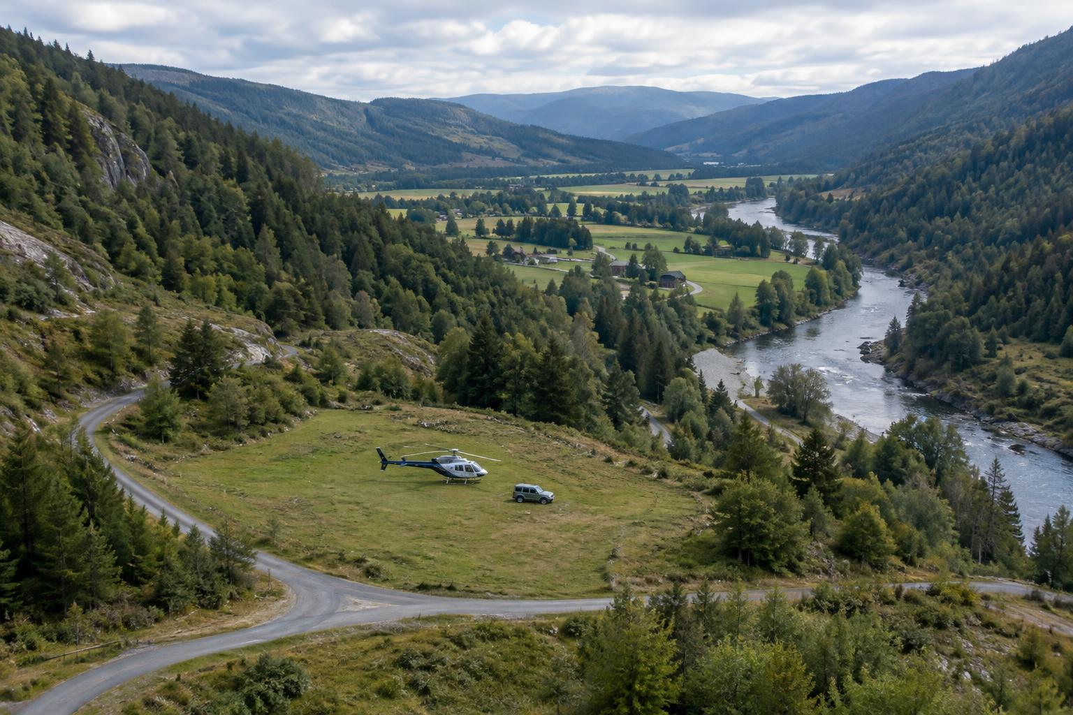
A pickup point is not always the scene of an emergency. A field may look open from a distance but have uneven ground, overhead wires, livestock, or poor vehicle access. A clearing in wooded country may be too constrained for a particular aircraft. Even a familiar location can change with crop growth, snow, flooding, or temporary equipment.
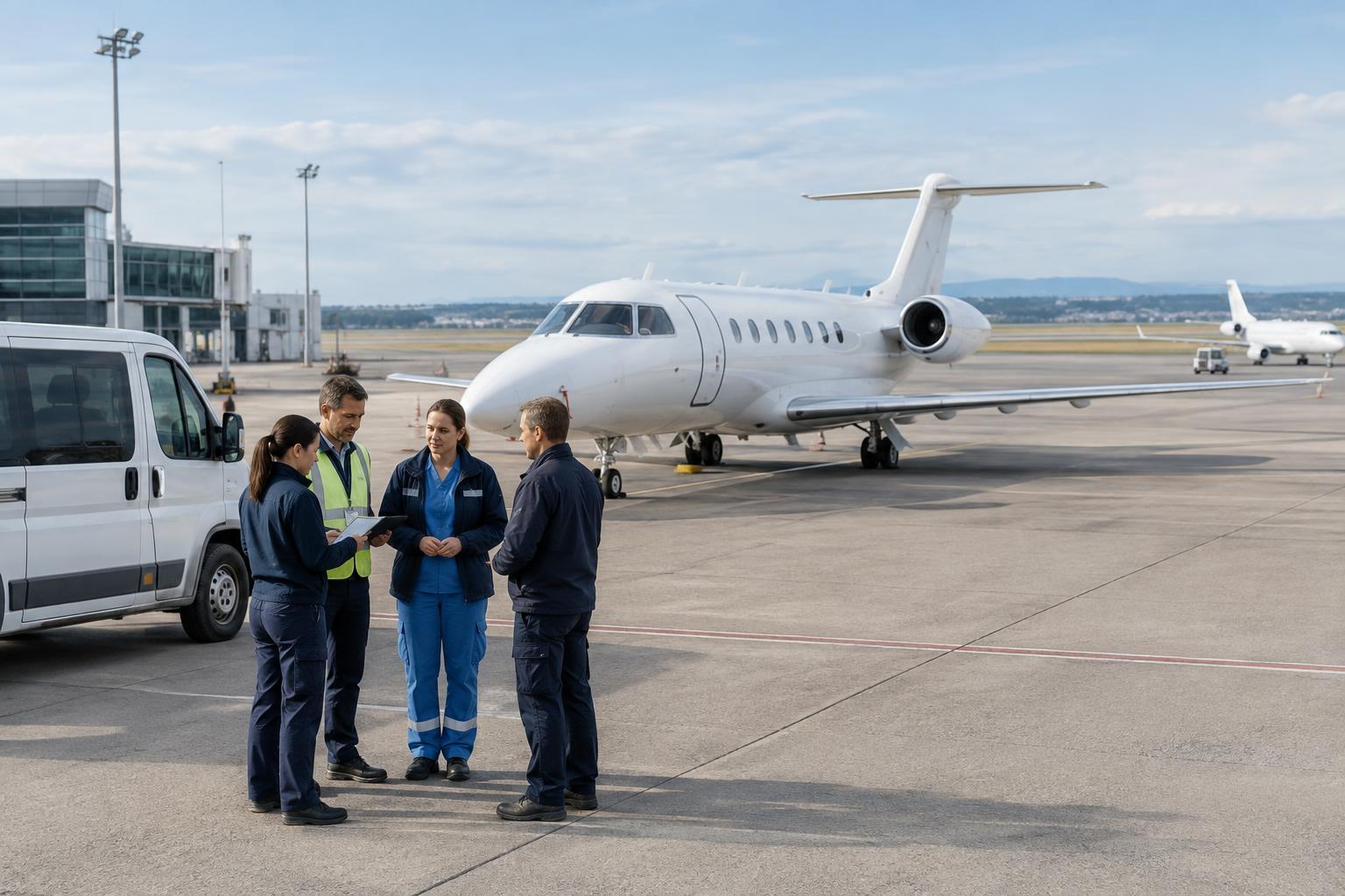
For that reason, crews may use an established landing area, an airfield, or another assessed location rather than trying to land as near as possible. Ground responders then bring the patient to that meeting point. This adds a road segment, but it can make the overall transfer more workable. The choice depends on conditions at the time and on the operating procedures of the teams involved; a map alone cannot establish whether a site is suitable.
Access after landing matters too. A pickup area that an aircraft can use may still be a poor choice if a ground vehicle cannot reach it reliably. Planners have to connect two kinds of movement: the aircraft’s arrival and departure, and the route available to the people and equipment on the ground.
Terrain changes route options
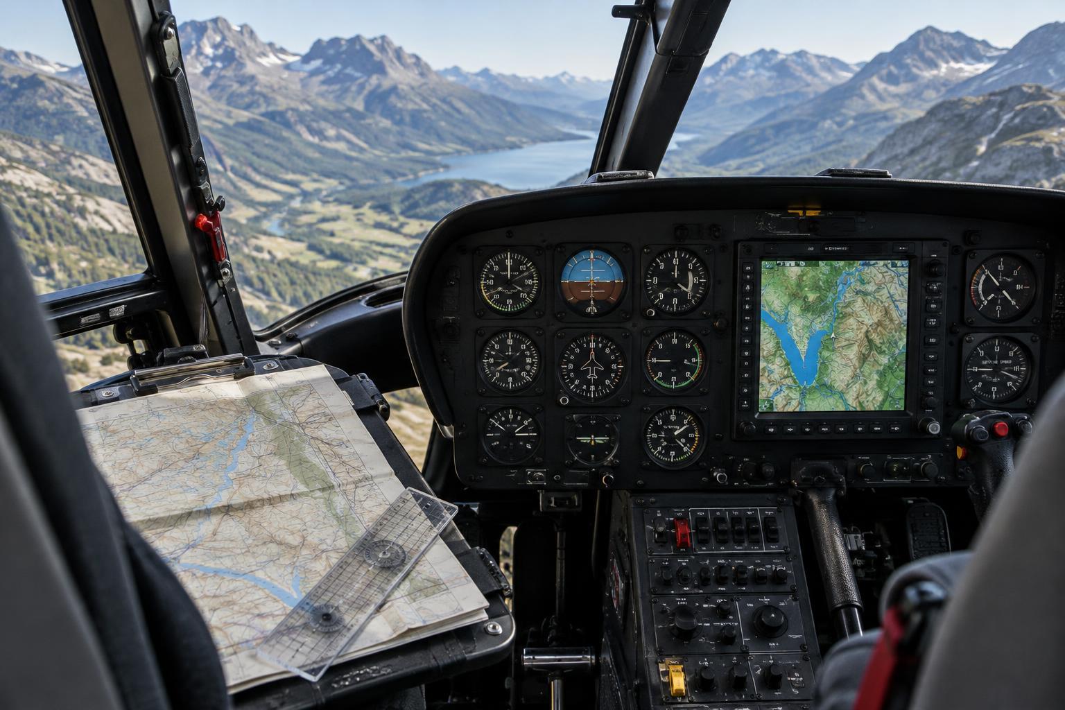
Ridges, valleys, large bodies of water, and extensive forests can shape an air route as well as a road route. Terrain may limit available paths or affect how crews communicate along them. Weather can vary across a region, so conditions near the pickup point may differ from those near the destination. A route that appears direct on a map may be unsuitable when those factors are considered.
Rural road networks create their own constraints. A single closed bridge, washed-out road, or seasonal track can change how a ground team reaches a pickup point. In places with few alternate roads, moving the meeting location a modest distance may significantly change the driving portion of the trip. Transport teams may therefore compare several combinations of ground and air travel rather than treating the pickup point and route as separate decisions.
Clear location information supports coordination
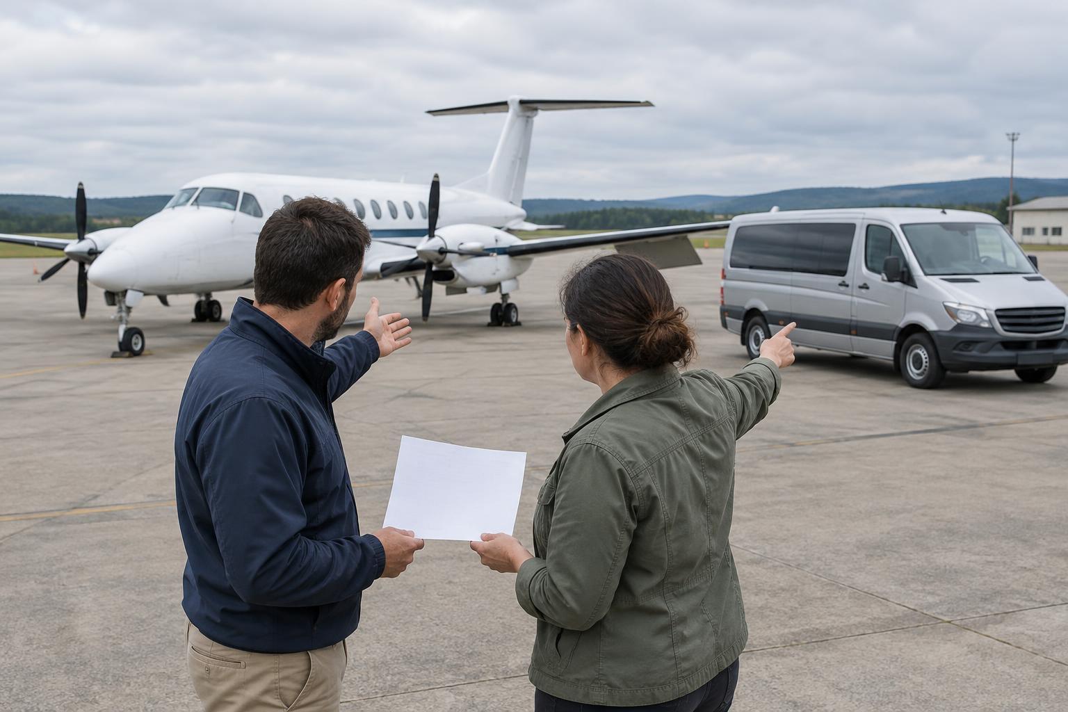
Rural addresses do not always identify an exact meeting place. A farm can have several gates; a park can have multiple entrances; a community building may be known locally by more than one name. Dispatchers, ground responders, and flight crews benefit from a shared description of the intended location and the way to reach it. Confirming an entrance or agreed meeting area can help prevent different teams from heading toward different sides of the same property.
Communication may be harder where cellular coverage or radio reception is inconsistent. Teams can account for that by confirming key details before moving and passing along changes when contact is available. Information about an access road, a blocked entrance, or a change in meeting point is useful only if the other participants receive it. This is one reason rural transport depends as much on coordination as on vehicle speed.
The best plan may change
Transport plans are made with incomplete information and may need to be revised. A ground crew might discover that an assumed access road is unusable. Weather may rule out a flight, or a different pickup point may become more practical after responders reach the area. In some circumstances, continuing by ground can be more appropriate than arranging an aircraft transfer.
The central lesson is that rural geography shapes a chain of decisions, not just a route on a map. A useful pickup point connects the scene to the transport vehicle; a useful route connects that vehicle to the destination under the conditions that actually exist. Thinking about those connections explains why rescue transport can look indirect while still reflecting a careful, coordinated plan.