The first challenge: knowing where to go
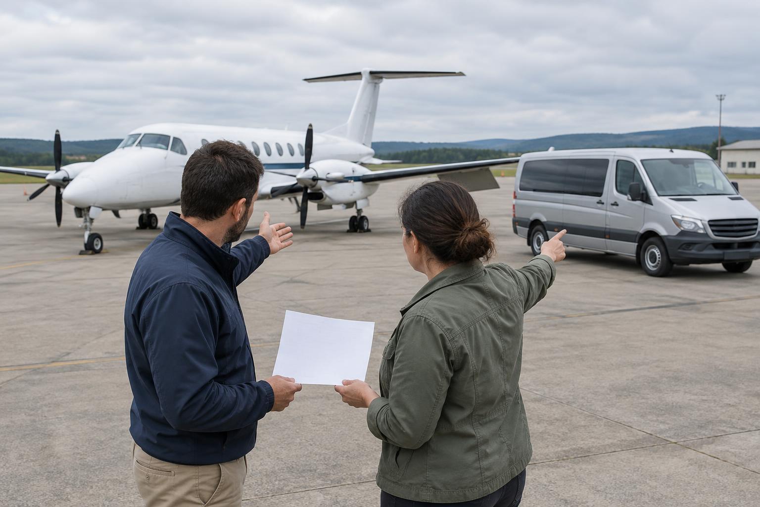
A rescue aircraft needs more than a destination name. Its crew must identify a usable route, understand the terrain, locate a safe place to operate and plan for the return trip. Those needs have shaped navigation throughout rescue aviation history. A search aircraft may need to cover an area methodically, while a transport aircraft may have a known departure point and receiving destination. Both depend on an accurate picture of where they are and what lies ahead.
Early crews relied heavily on paper charts, compass headings, estimated travel times and recognizable features on the ground. Rivers, roads, coastlines and rail lines could help confirm a position when visibility allowed. These methods demanded sustained attention: wind could push an aircraft away from its planned track, and a landmark could be difficult to identify from above. Navigation was therefore not a single calculation made before takeoff. It was a continuing process of checking expectations against what the crew could observe.
Charts made planning visible
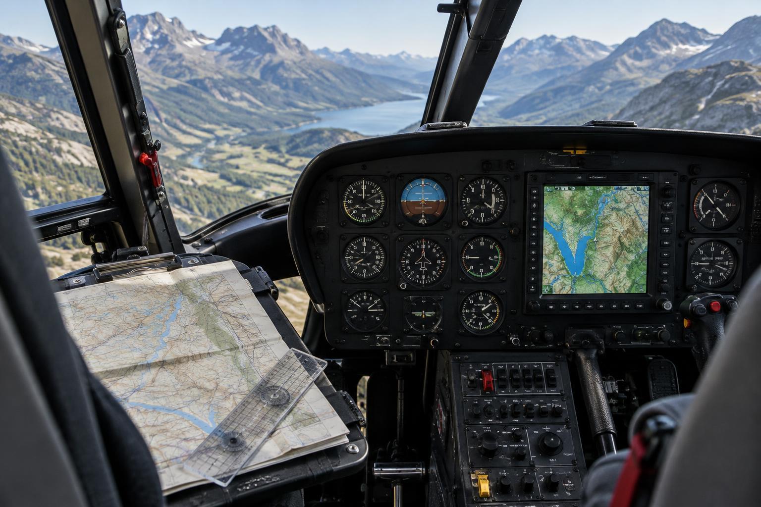
A chart turns a complicated landscape into a working plan. Crews can mark a proposed route, note terrain and airspace considerations, identify alternate destinations and estimate distances between points. For rescue flights, that preparation also helps reveal practical questions: Is the reported location precise enough to find from the air? Which landmarks could help identify it? What options remain if weather or access makes the preferred destination unsuitable?
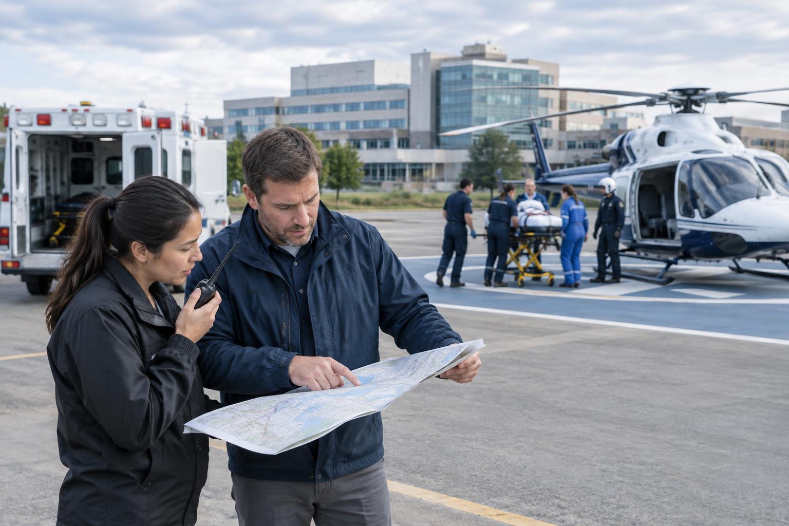
Paper charts also made assumptions easier to discuss with other people. A crew could compare a reported location with a marked point and ask whether the description referred to a road junction, a nearby settlement or a wider search area. Coordinates reduced some ambiguity, but only when everyone used and recorded them consistently. The broader lesson is historical as well as practical: better navigation has often depended not just on better instruments, but on clearer ways to describe a location.
Radio aids offered another way to check position
As ground-based radio navigation developed, aircraft gained ways to navigate that did not depend entirely on seeing landmarks. Depending on the equipment available and the area served, a crew could use radio signals to help establish a course or confirm its position relative to a known facility. This was particularly useful when a route crossed featureless terrain or when visibility made visual references less dependable.
Radio aids did not remove the need for judgment. Coverage varied by location, and an aid that was useful along one part of a trip might not solve the problem of locating a small, unmarked rescue scene. Crews still had to connect an instrument indication with the wider plan: where the aircraft was headed, what terrain lay nearby and how the final destination would be identified. In that sense, newer tools added ways to cross-check a route rather than replacing the underlying task.
Satellite positioning changed the everyday view
Satellite-based positioning made it easier for equipped aircraft to display their location alongside a planned route. Digital maps can bring together position, waypoints and other flight information in one view. For a rescue crew, this can make it simpler to compare a reported coordinate with the aircraft’s track or to follow progress toward a remote destination. It can also help teams communicate about the same point rather than relying solely on a place-name or verbal description.
A position display, however, is only as useful as the information entered and the way it is interpreted. A mistyped coordinate can point to the wrong place with apparent precision. A map symbol does not prove that a landing site is suitable, that conditions are favorable or that a person in need will be visible from the air. Charts, instrument indications, observations and communication remain complementary sources of information. Digital navigation improves access to a position; it does not answer every operational question.
The lasting skill is building a shared picture
Looking across these changes, rescue aviation navigation is less a story of one tool replacing another than of crews gaining more ways to test what they think they know. A chart helps frame the route. Radio aids and satellite positioning can help check progress. Visual observation can confirm features that a screen represents only as lines or labels. Each method has strengths, limits and opportunities for error.
The same principle applies to coordination beyond the aircraft. A location report is most useful when the people sharing it agree on its meaning, note uncertainty and update the plan when new information appears. From penciled routes to digital waypoints, navigation tools have helped rescue crews turn incomplete descriptions into workable flight plans. The enduring challenge is to keep the route, the reported destination and the crew’s actual observations aligned.